Plateau de Caussols
The Plateau de Caussols is a plateau at an altitude of 1100m (3,600ft). It is overlooked by the Plateau du Calern at 1400m (4,600ft) on which there is an observatory. It is North of Cannes and about an hour's drive from the coast. There are a few isolated homes and farms. On a good day the views are magnificent and you can see from Frejus in the west to Nice in the east. In the summer it is used for launching paragliders, by hikers, and sheep and goats. The winters are hard but it in winter it can also be a magical place. There are many hiking routes in the area and some real hidden gems such as the Chapel Notre-Dame de Calern built in a cavern.
Comparison of two very different Januaries
This gallery compares two Januaries; one in 2021 when it was -10 degrees C (14 degrees F); and in 2024 when it was about 10 degrees C (50 degrees F). The 2021 winter had more than a metre (3 feet) of snow and 2024 with no snow. I have tried to keep the same views so there is a better comparison. All the photos come from 2 days hiking on Friday the 8th January 2021 and Thursday the 18th January 2024. Both were photos taken in the afternoon, perhaps the 2024 photos an hour or two later in the afternoon. I had not planned to make a comparison when I took the photos. It was only looking at them afterwards that I thought the comparison and differences to be striking. This shows a very different side to what people think is the South of France and it is only an hour's drive from Cannes.
Click on the photo to see a full size photo.
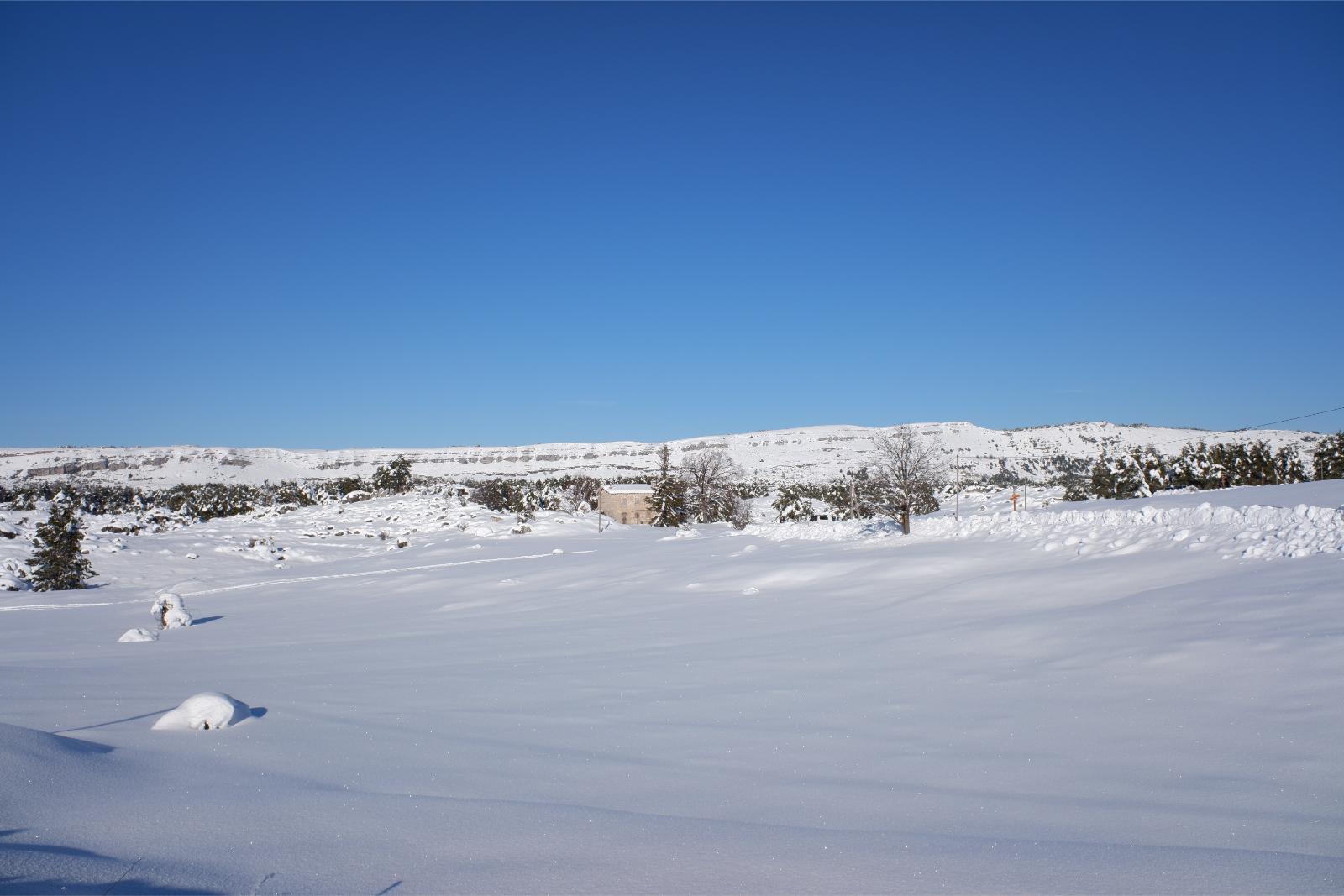 Friday January 8th 2021, Plateau de Caussols, South of France, Altitude 1100m(3,600ft) A cold Winter's Day
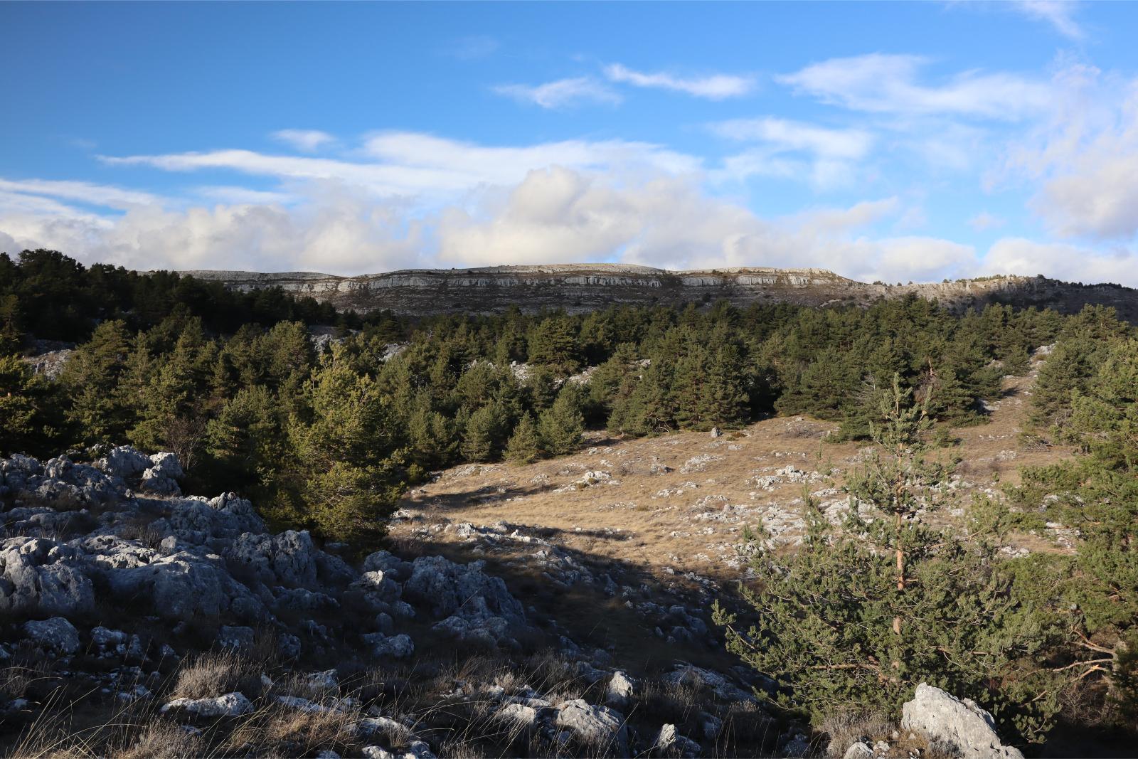 Thursday January 18th 2024, Plateau de Caussols, South of France, Altitude 1100m(3,600ft) Lovely Winter Day
In both photos the view is towards the Plateau de Calern with two very different scenes.
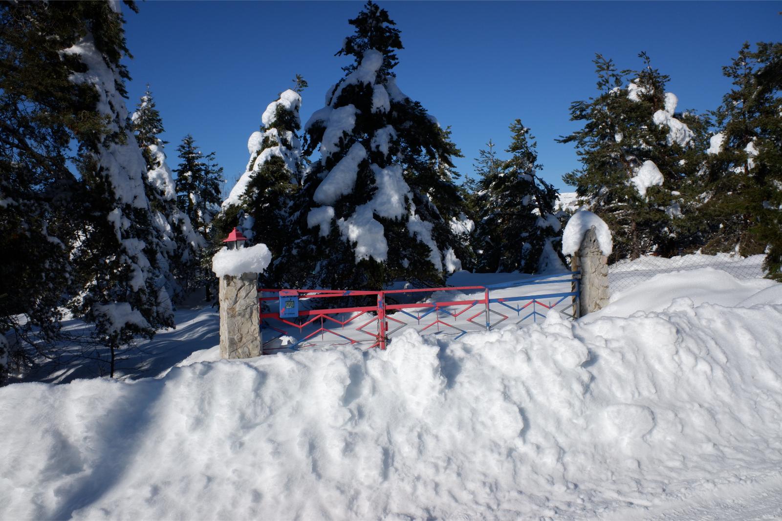 Friday January 8th 2021, Plateau de Caussols, South of France, Gateway to a house totally covered in snow
 Thursday January 18th 2024, Plateau de Caussols, South of France, Same gateway on a sunny winter day
The house number is 6703 and in the snowy photo is looks like it is not in use as nothing is cleared inside of it.
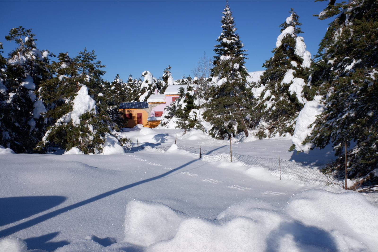 Friday January 8th 2021, Plateau de Caussols, South of France, House in a snowy Forest
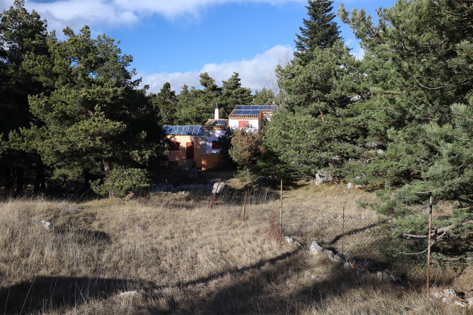 Thursday January 18th 2024, Plateau de Caussols, South of France, House in a green forest
This house is set back from the road among the trees and it has solar panels on the roof. It looks like in both photos it is closed up for the winter.
 Friday January 8th 2021, Plateau de Caussols, South of France, Pretty Stone House amid the snow
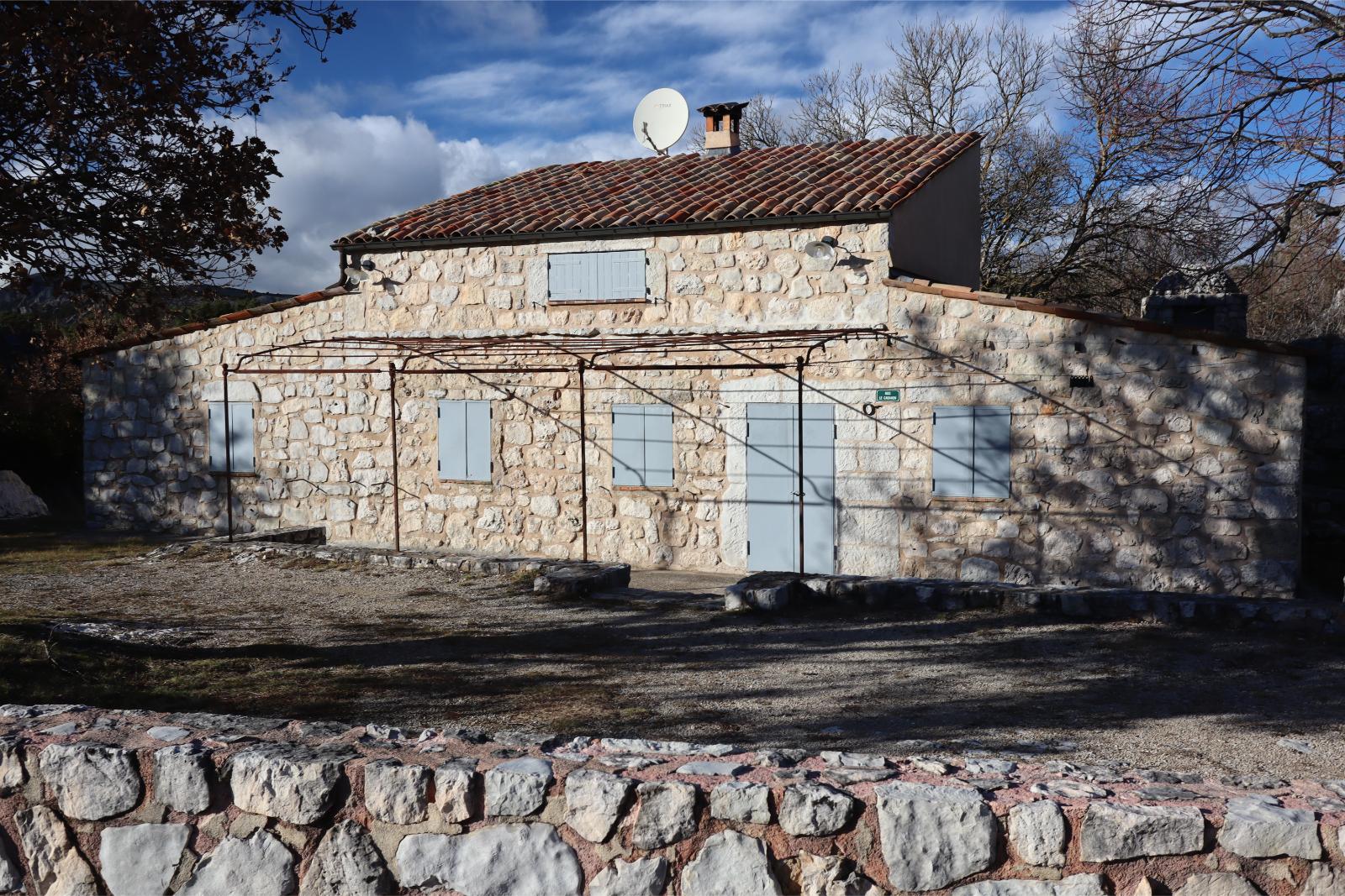 Thursday January 18th 2024, Plateau de Caussols, South of France, Pretty stone house reflecting the winter sun
In both photos the the house looks closed up for the winter. It is only regarded as a small house as it is called "Le Cabanon" (The Shed). Note the satellite dish on the roof.
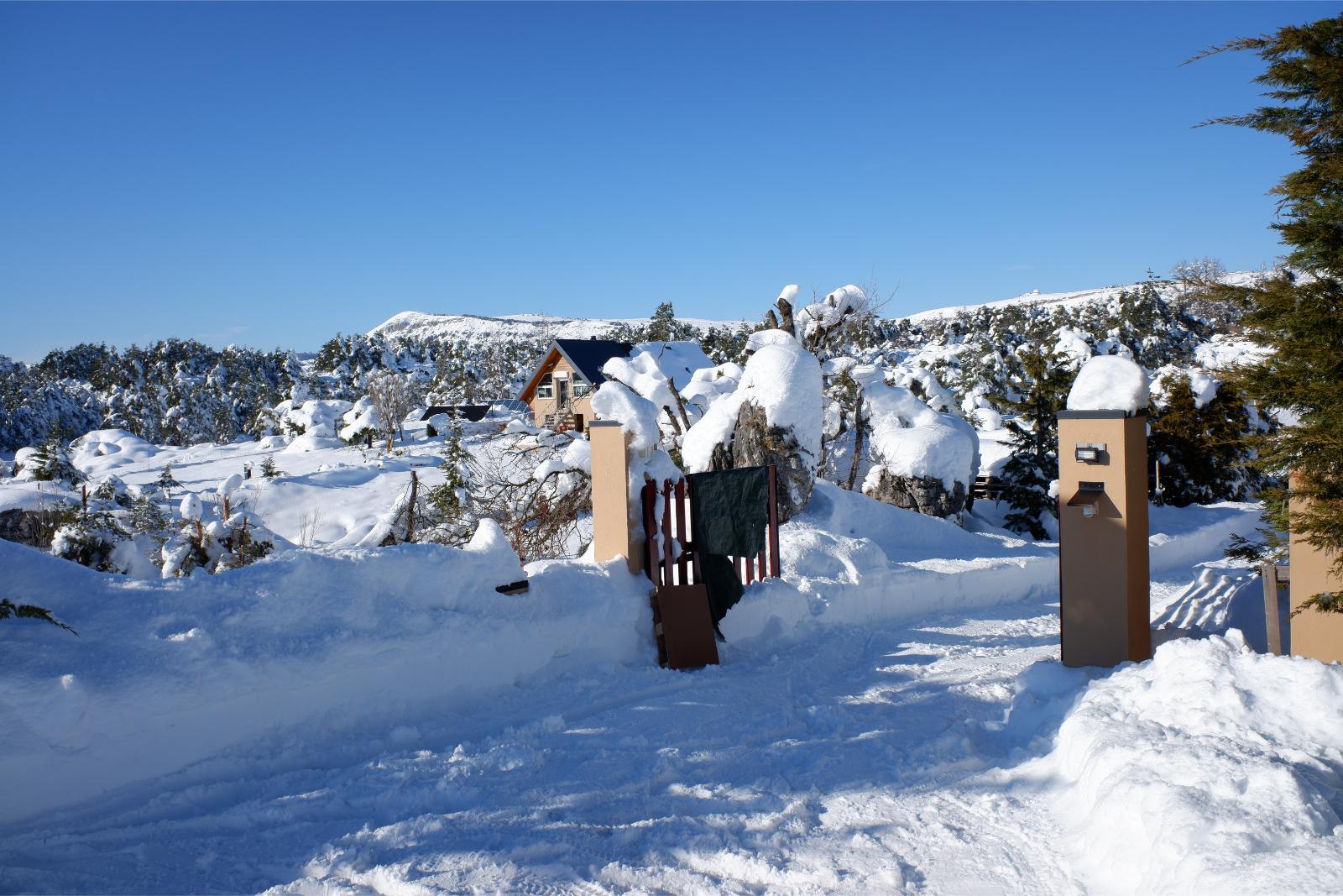 Friday January 8th 2021, Plateau de Caussols, South of France, A snowy open entrance gate to a house
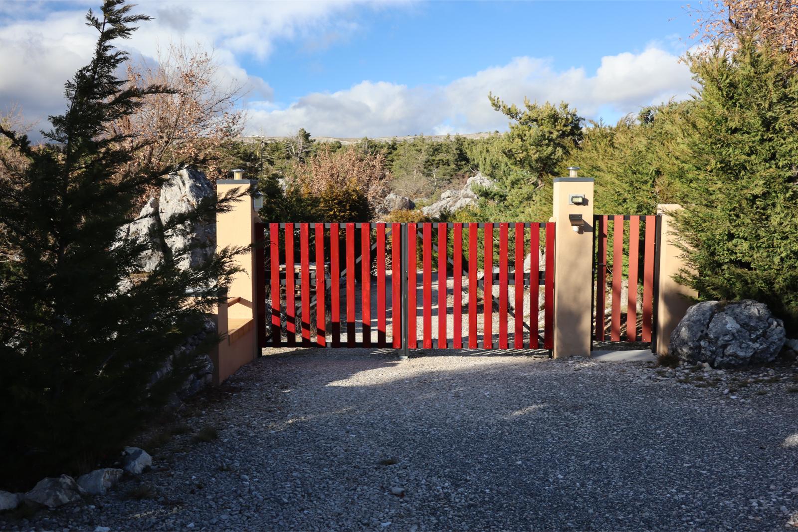 Thursday January 18th 2024, Plateau de Caussols, South of France, The same entrance gate closed
In the snowy photo the house looks open as they have also cleared the drive to the house. In the 2024 photo the house may be closed as the gate is closed.
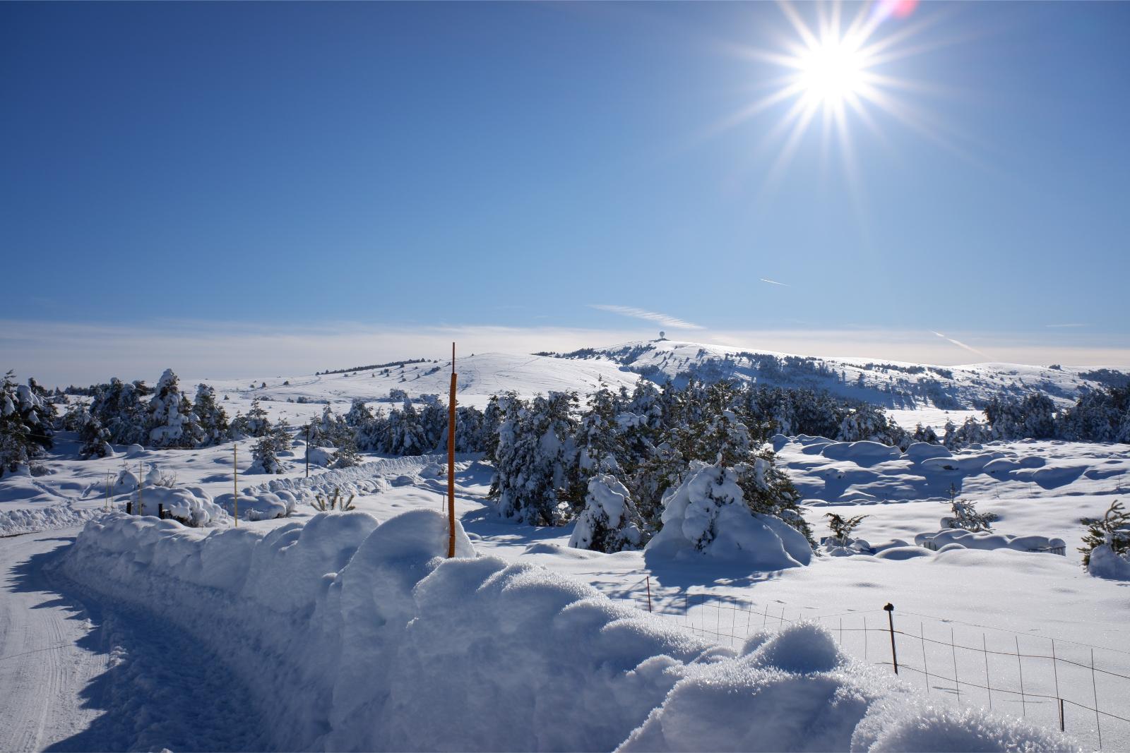 Friday January 8th 2021, Plateau de Caussols, South of France, Snowy view of the road just after the entrance gate before. Note that the road has been cleared
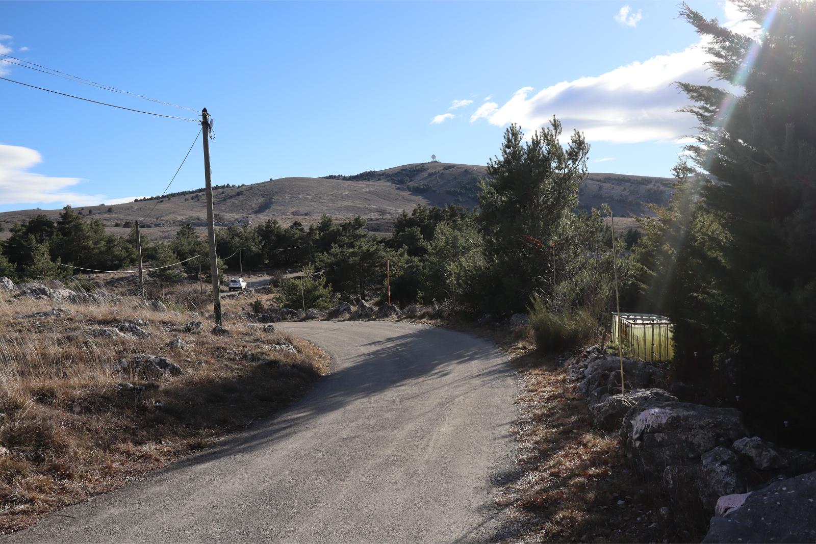 Thursday January 18th 2024, Plateau de Caussols, South of France, view of the road just after the entrance gate before. In this photo you can see what appears to be water resevoirs when in the other they were covered in snow.
In both photos the view is towards the South West. Note the Air Control Radar Dome at the top of the hill in both photos. In both photos there are snow poles to mark the edges of the road when the snow is too deep.
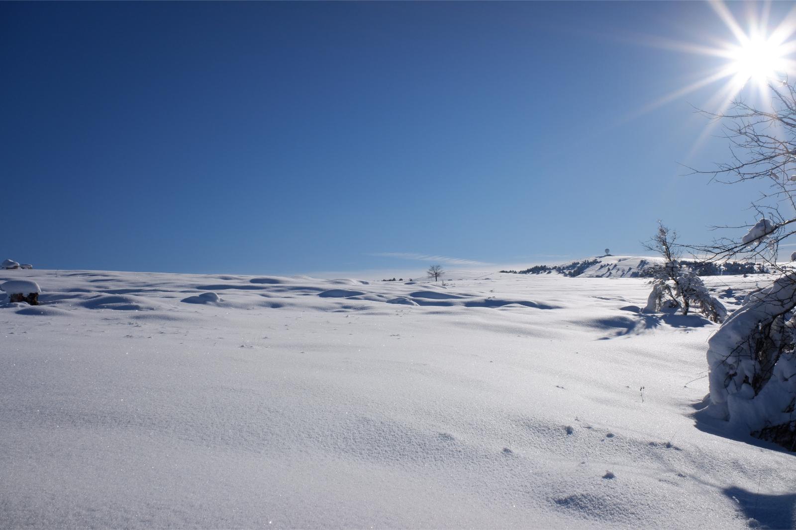 Friday January 8th 2021, Plateau de Caussols, South of France, Altitude 1100m(3,600ft) A cold Winter's Day
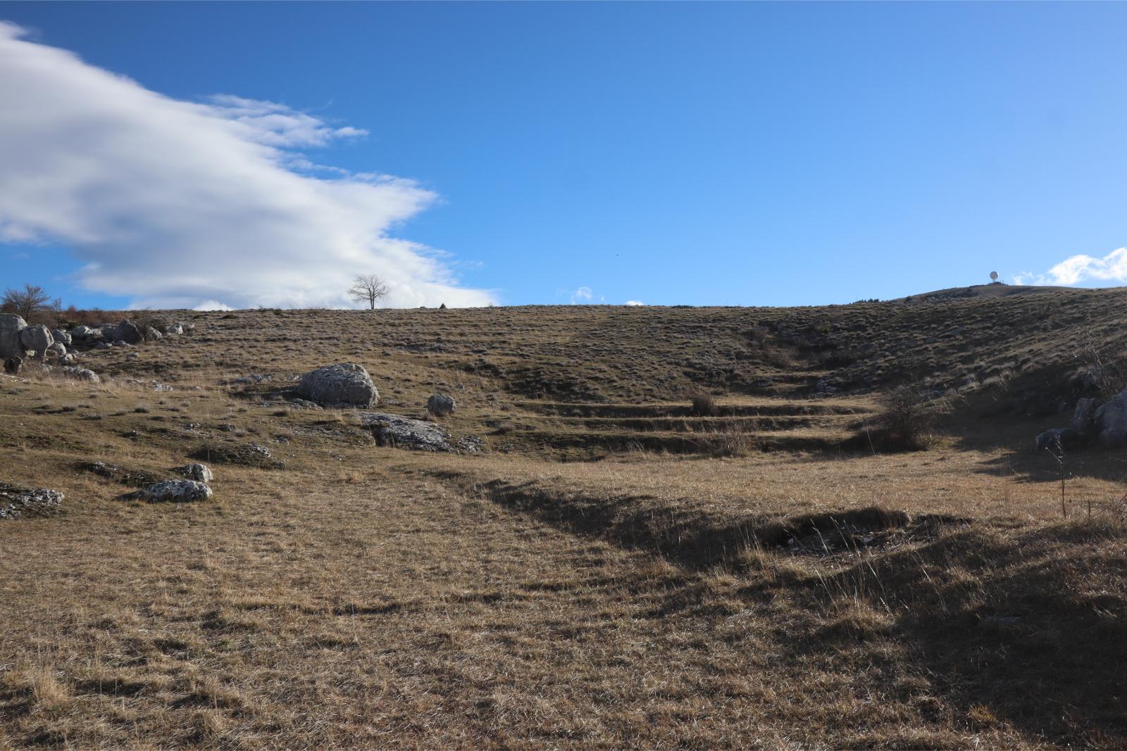 Thursday January 18th 2024, Plateau de Caussols, South of France, just a brown winter landscape which has yet to green up
In both photos the view is towards just West of South. Note the bare tree at the top of the hill and Air Control Radar Dome in both photos.
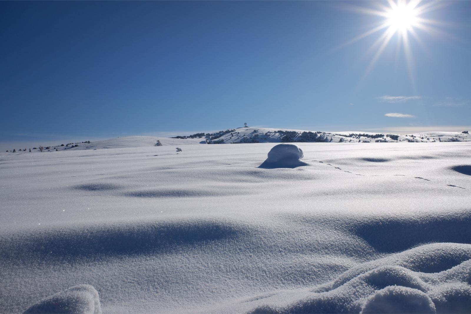 Friday January 8th 2021, Plateau de Caussols, South of France, an almost Siberian landscape. You can see the ice reflecting off the snow.
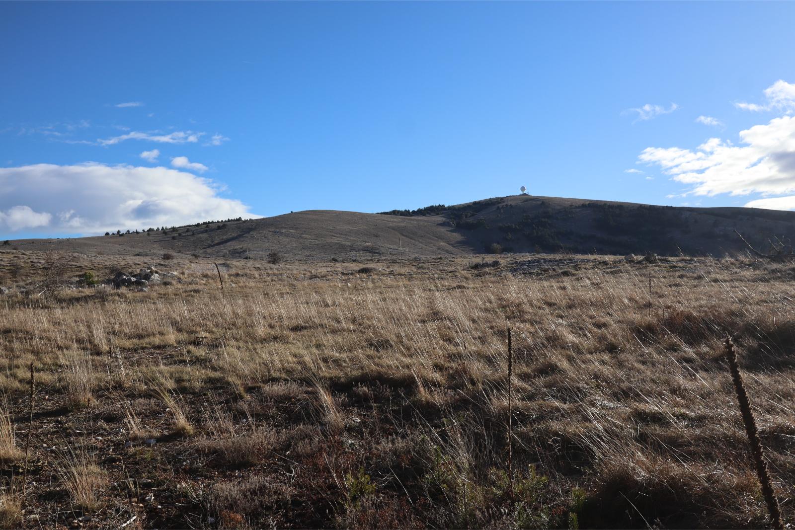 Thursday January 18th 2024, Plateau de Caussols, South of France, just a landscape on a sunny winter day
In both photos the view is towards just West of South. Note the Air Control Radar Dome at the top of the hill in both photos.
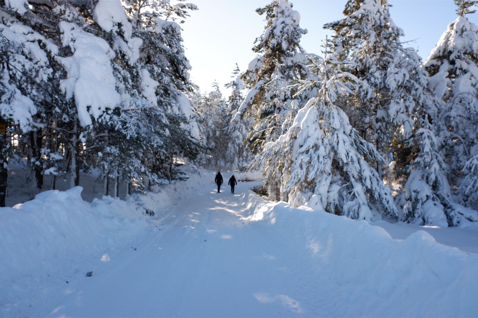 Friday January 8th 2021, Plateau de Caussols, South of France, Altitude 1100m(3,600ft) a snowy road with two travellers
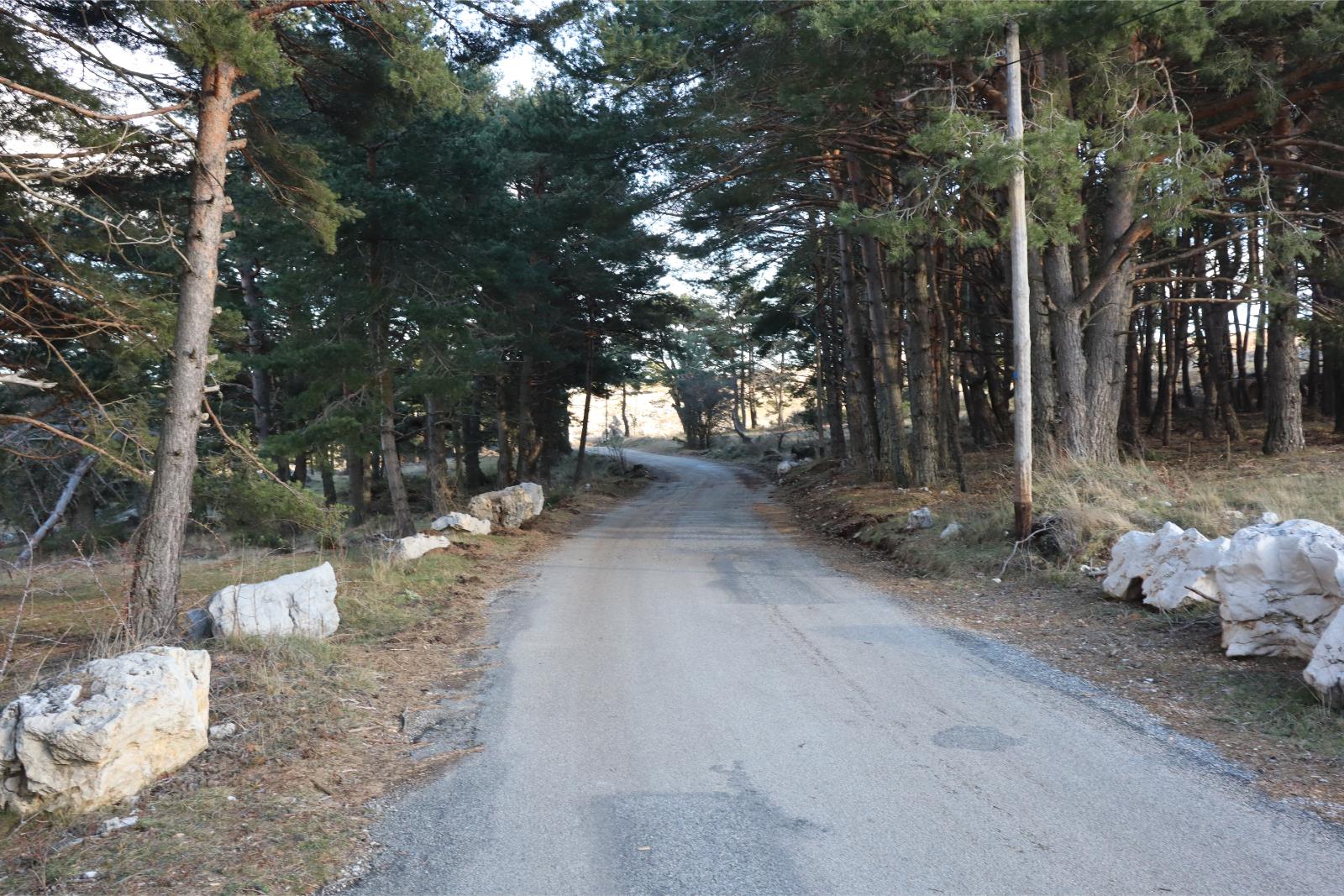 Thursday January 18th 2024, Plateau de Caussols, South of France, a simple road between the trees
Not exactly the same piece of road but very different scenes. You can see that even on these small roads they have been cleared.