Route Sections and Suggested Routes
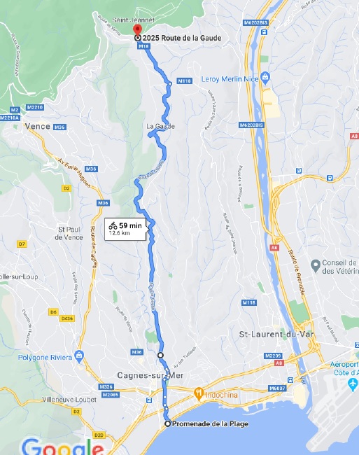
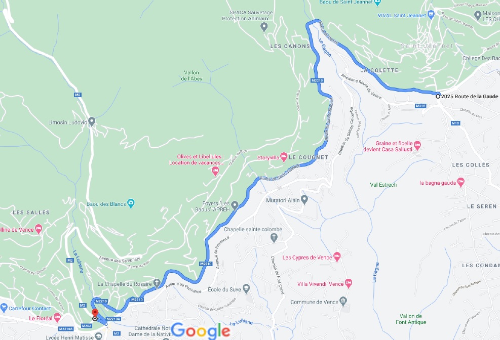
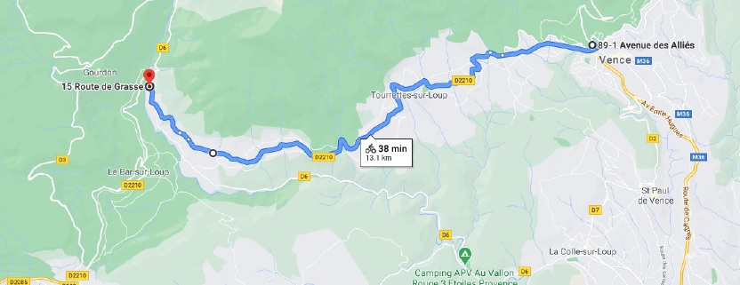
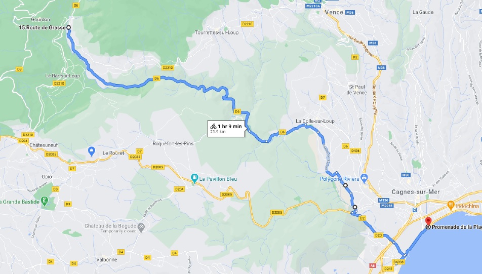
These were generated as instructions from the routes that I have done. Each route section is a small part that you can link together. You can then plan different routes by putting sections together based on your fitness and what you want to plan for that day.
I have purposely missed out several routes mainly because I find them not useful to cyclists. An example is the main road between Cagnes-sur-Mer and Vence which is used in many cycling guides. I do not use it because, it is much too busy and dangerous, and it is not particularly scenic. I prefer scenic routes with less traffic.
for each section there is:
1. a name
2. distance in kilometres and miles
3. altitude gain and loss in metres and feet. This is total climbing in the section to give some indication of effort. For example if it goes up 200 metres, down 150 metres and back up 120 metres, the altitude gain is 320 metres. The descent in metres can be used as the altitude gain when doing it in the reverse order.
4. Description of each section
5. There is an identified numbered start and end point for example A1 to B1. You can then link it to any other section which starts with B1
6. Directions of Route to follow
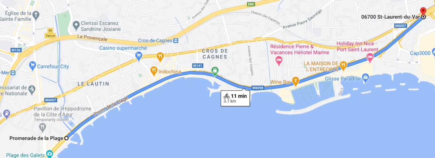
The main starting point is from the seafront at Cagnes-sur-Mer but with the sections you can obviously start anywhere.
Documenting the routes and verifying them takes time even with the help of Google Maps. They will be added to as there is the resource to do it.
One thing that may be added is a route planner where you can choose a start position and see what routes exist and how they can be chained together to make a route of suitable length and difficulty for your abilities. This is some way in the future.
All the routes are in the Cagnes-sur-Mer area within about 50km, really because they are the only routes I have experience of.
Suggested Routes
Route 1 Cagnes, St Jeannet, Vence, Tourettes, Pont du Loup, VilleNeuve Loubet, Cagnes
By adding route sections 1, 2, 3, 4 it makes a good loop of 54 km with 448 m of climbing and 459 m of descent.
It is a good initial route with plenty of scenery.
It is good for spring, summer and autumn. Often in winter there are problems of low temperatures, bad weather or road conditions.
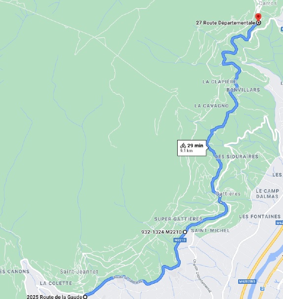
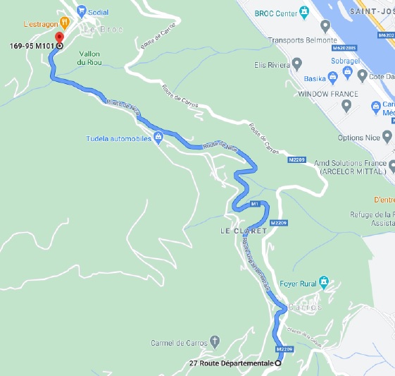
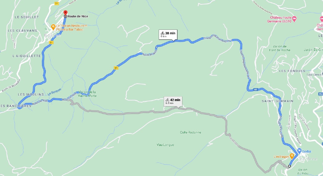
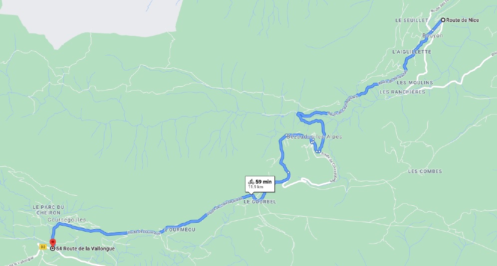
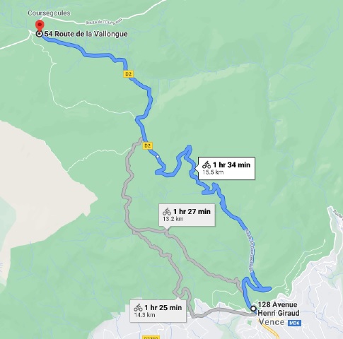
Route 2 Cagnes, St Jeannet, Vence, Col de Vence, Coursegoules, Bouyon, Le Broc, Carros, St Jeannet, Cagnes
By adding route sections 1, 2, 9, with 8, 7, 6, 5 in reverse it makes a good loop of 67 km with 1151 m of climbing and 851 m of descent.
This is for the more adventurous.
It is good for spring, summer and autumn. Often in winter there are problems of low temperatures, bad weather or road conditions.
Route 3 Cagnes, St Jeannet, Carros, Le Broc, Bouyon and return by same route.
By adding route sections 1, 2, 5, 6, 7 and return, it makes a good route of 79.2 km with 836 m of climbing and 836 m of descent.
Based on your condition you can decide whether to stop at Carros, Le Broc or Bouyon. There are good bars in for coffee in each of them. At Bouyon in the centre of the village there is a good simple restaurant with magnificent views that does an excellent plat du jour.
It is good for spring, summer and autumn. Often in winter there are problems of low temperatures, bad weather or road conditions.
